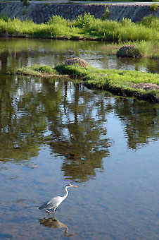
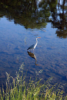
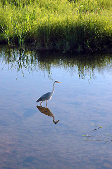
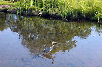
Kamo
River 鴨川 oder
加茂川kamogawa Takano
River+ 高野川 takanokawa
J
232 452
31 km
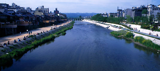
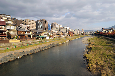
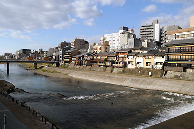
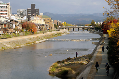
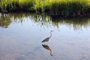
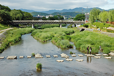
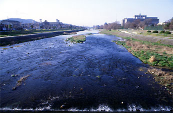
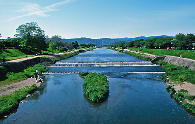
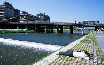
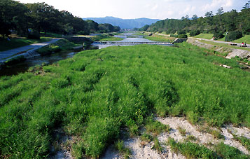
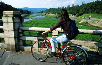
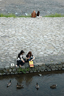
long Kamogawa ("wild duck river")
rises from Mount
Sajikigatake in the north of Kyoto, runs into Kyôto basin near Kamigamo
Shrine and
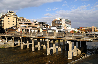
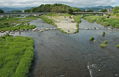
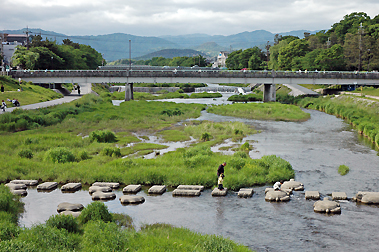
joins the Takano River in Demachiyanagi at the Kamo-ôhashi bridge and goes
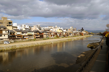
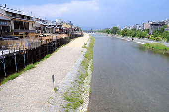
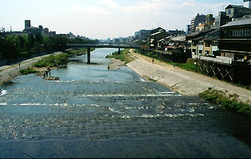
through the center of
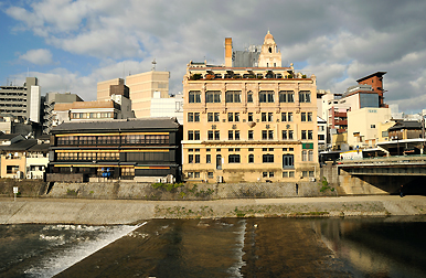
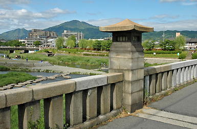
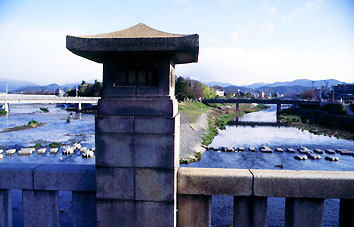
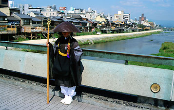
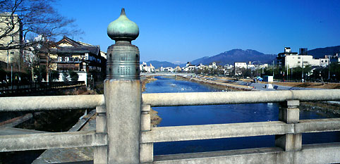
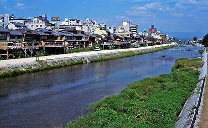
the city, below the historical bridges of Sanjô-ôhashi and Gôjô-ôhashi (s.a. Minamoto no Yoshitsune). The
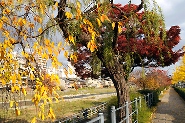
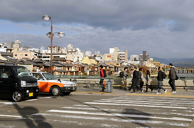
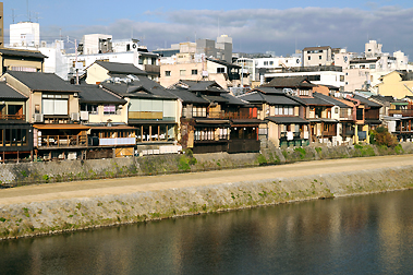
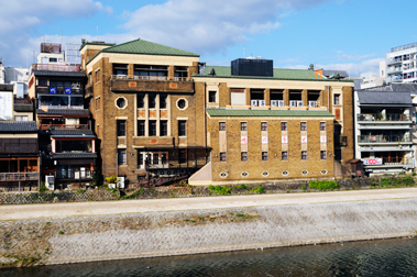
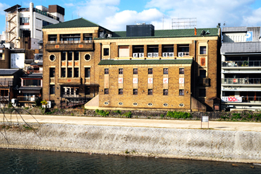
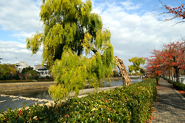
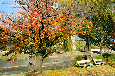
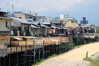
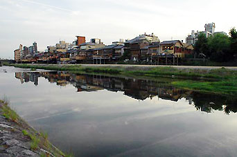
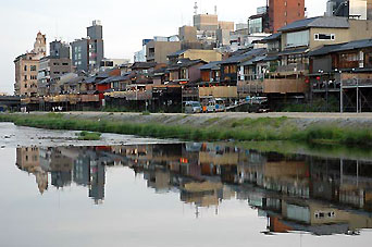
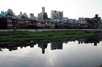
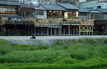
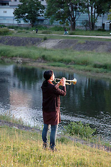
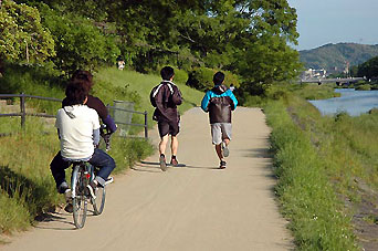
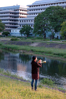
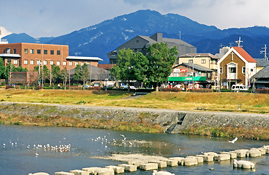
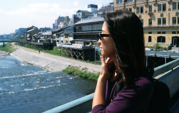
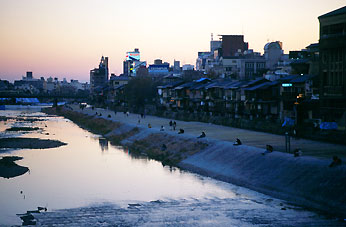
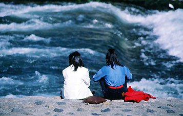
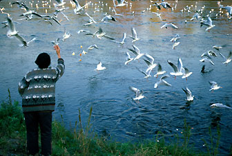
riverbanks are popular walks for residents and tourists and in summer
restaurants open balconies looking out to the river. Further south Kamo
River meets the Katsura River
at Fushimi and becames together with Uji-gawa
and Kizu-kawa a tributary
of Ôsaka's largest river, the Yodo-gawa.